Crawl, Walk, Run ... Fly. Unmanned aerial systems in national parks are just starting to realize their potential.
In 2012 the National Park Service flew its first drone-based mission over Hawaii’s Mount Haleakela. Nearly six years later, the service has flown approximately 250 unmanned aerial system missions across the country. The agency’s drones do everything from putting out fires to finding lost visitors and they give NPS employees an increasingly valuable tool for preserving park and patron well-being.
“Pretty much anything we are using airplanes and helicopters to acquire data on we are using UAS now, but on a lesser scale: photography, animal-counting, search and rescue, firefighting,” said Meg Gallagher, branch chief for the NPS Aviation Program.
NPS graduated its first class of nine pilots, representing Grand Canyon and Alaska Regional Parks, in September 2016. Since then the program has more than doubled the number of pilots and tripled the number of participating parks. However, according to Jim Traub, NPS aviation branch contractor, the parks’ UAS programs are still very much in their infancy.

“It’s a crawl, walk, run situation. And a couple of them are up to walk, a couple of them are just starting to crawl — nobody is running yet,” said Traub.
There are six national parks that currently have UAS programs, with approximately 25 pilots across those programs. Two more parks are scheduled to begin programs in the near future.
The limited number of pilots, however, means that some operators are asked to take on new tasks far away from their usual base of operations, according to Britta Schroeder, geographic information systems specialist and UAS pilot at Denali National Park and Preserve, Alaska.
Schroeder was sent to the Virgin Islands in November 2017 to help with surveying the damage caused by Hurricane Maria months prior. She said that while it was “very cool” to be drawn out of her comfort zone, she had to adapt to the very different weather, time zones and geography.
“It spoke to the need for UAS within the park service. Not just UAS, but operators throughout the national park system,” said Schroeder. “It was slightly ridiculous to send someone from Alaska all the way to the Virgin Islands.”
Even within Alaska, the limited number of UAS pilots means that some operators must pack up with all of their equipment and ship out to other parks without dedicated UAS pilots.
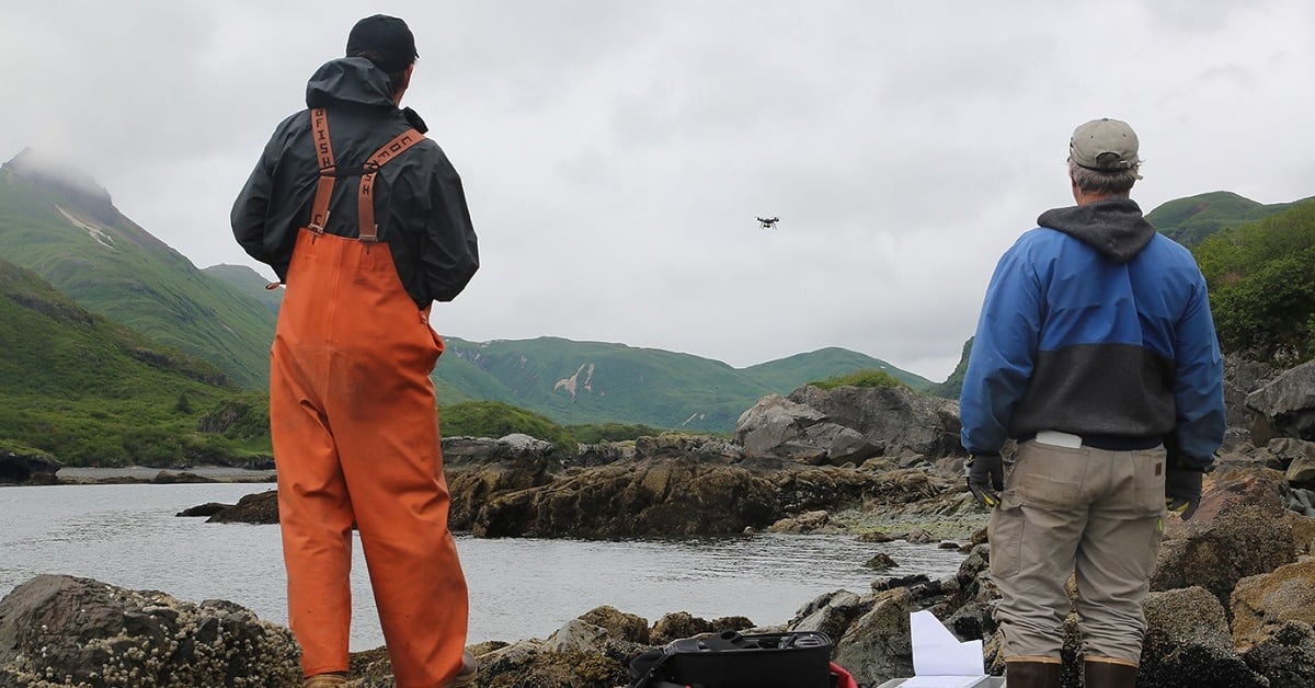
“My vision would be that we have at least one UAS operator, if not a UAS operator and/or a backup to that person, in each of our parks here in Alaska,” said Jeffrey Babcock, Alaska regional aviation manager and UAS pilot.
“I don’t necessarily think that everyone needs to be certified on a UAS, but to have people who are spread out throughout all these regions — especially in more remote locations like the Virgin Islands, Alaska, Hawaii — you can utilize these systems for their day-to-day operations,” said Schroeder.

UAS pilots Jeff Bryant, leasing program manager for the Northeast region, and John Becker, leasing specialist for the same region, use drones to photograph NPS properties up for lease. They said that they are the only two UAS pilots in the national parks east of the Mississippi River.
Though their program is only a couple months old, they’ve already been getting requests to help with agricultural field surveys, large-scale event monitoring and a local deer count.
“I don’t know if we’ll actually participate in that or not, but sometimes going out to film these buildings makes the park aware that this use and this technology can be used in so many other things,” Bryant said. “I think as time goes on we’re going to have other teams that will start to do this for other purposes.”
Don’t quit your day job … yet
UAS pilots in the national parks typically fly drones as a secondary duty to their other responsibilities in the park. Pilots start out in a variety of positions, including mapping specialists, law enforcement and manned aircraft pilots.
“Anybody can be a UAS operator, and that’s kind of a cool thing,” said Schroeder. “There are some specialties and technical skills that, if people have them, they might excel more at the UAS, but there’s no reason why anyone in a particular park or region could not attain this operator status.”
Schroeder said that she spends about 20 percent of her time working on UAS projects.
For many pilots, a portion of that time is devoted to developing systems and processes for UAS missions on the fly.
“Most of the folks that are UAS pilots right now are building a whole bunch of stuff from scratch,” Schroeder said, adding that in a couple of years, once processes have been established, that time could be cut down.

“For all of my pilots, it’s all collateral duty. So everyone has day jobs, and this is just something that they have shown interest in and hopefully have the time to stay proficient and go out and do these missions,” said Justin Jager, interagency aviation officer at Grand Canyon National Park.
Maintaining that proficiency and currency with UAS updates can prove a time-consuming part of the process, according to NPS officials, and narrows the employee pool interested in the program.
“It’s a lot more time-consuming than originally I think anybody thought,” said Gallagher.
“Initially there was a huge interest — until we began to explain the process for the park and the pilot to become certified and maintain their currency and run the program.”
Not just anyone can fly a drone within a national park. A very limited number of parks allow for recreational use of drones, while the rest only permit drones flown by licensed and permitted officials or contractors within the park.
The initial training to gain that licensure requires a sizeable investment of time and funds from potential pilots and their agencies. Pilots must pass Federal Aviation Administration testing for remote pilot certification before taking a weeklong Department of Interior course.
“We joke that just the FAA license, going through that process, was the most studying that we’ve done since college,” said Bryant. He added that the learning requirements for weather patterns, airspace and other components of the FAA test were “pretty intense.”
“The instructors did a great job of having us practice and learn how to fly our drones without a lot of the extra equipment that’s on them,” Bryant said.
“Specifically, the GPS that’s on a drone is kind of what makes it steady and stay in one place, and when you’re using the GPS it’s pretty easy to fly — it’s hard to screw up with them. They did a good job of making us practice in manual mode with the GPS disabled, just for the off-chance that would happen.”
According to Babcock, the actual drones can cost a park anywhere between $2,000 and $5,000, with an additional $3,000 required to put a potential pilot through the initial training program. Sensor add-ons for each drone can also cost a few thousand dollars each.
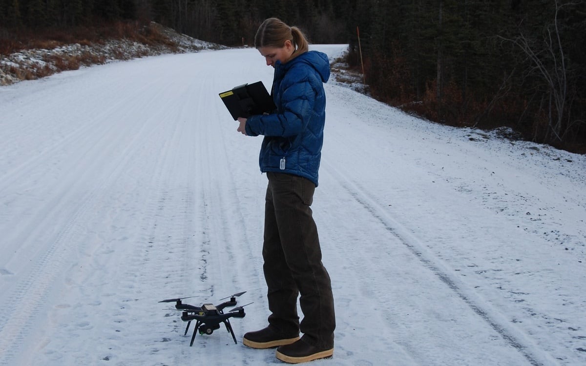
Currently, NPS pilots fly small quadcopters, like the 3DR Solo, which can limit the length and kind of missions they undertake. The batteries for such drones generally last only 12 to 15 minutes. For areas like Alaska, getting the lithium polymer batteries used by the drones shipped can prove a challenge.
Schroeder said that there are projects she must turn down because the requirements for the project extend beyond the combined battery life of her drone.
“You can buy multimillion-dollar systems, but our budget cannot afford that. All of our aircraft right now are very small. They’re in the thousands-of-dollars range,” said Traub, explaining that with the program as young as it is, it’s better to learn on smaller, less expensive systems.
“If we have a mission where we need a more robust — hence expensive — UAS that needs longer range, and maybe a more sophisticated sensor package, that is when we look and continue to look to the contracting world,” Traub said.
‘Another arrow in their quiver’
NPS drones stand very little chance of replacing manned aircraft, like helicopters and fixed-wing airplanes, which are sometimes necessary to get UAS operators to their launch sites.
“I look at UAS as another arrow in their quiver. It is not the solution to everything; it will not replace manned aircraft. In some places like Alaska, you still need a manned aircraft to take the UAS and the UAS operator to the site where the work is going to be done,” said Traub.
Other programs, like the one in the Northeast region, face challenges with densely populated areas and nearby airports that restrict the available space to fly drones.
Some UAS projects are designed to bring the national parks in line with progress made in the private sector, such as using drones to photograph property, but others have proven to be highly innovative.
“We did the first aerial ignition of a prescribed fire pretty much anywhere in the Department of the Interior and, we think, across the federal government,” said Traub.

That prescribed fire, which was a 2016 collaboration between Homestead National Monument of America and the University of Nebraska-Lincoln’s Nebraska Intelligent Mobile Unmanned Systems Laboratory, dropped burning spheres within a marked-off ring. The fire otherwise would have been dangerous to light by hand.
The Grand Canyon UAS program is also designed to increase efficiency while maintaining employee safety.
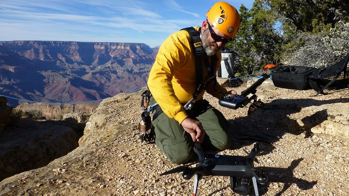
“For me, personally, I’m looking to decrease the risk to our aviators, as well as our park rangers [and] search-and-rescue folks when we’re out there,” said Jager.
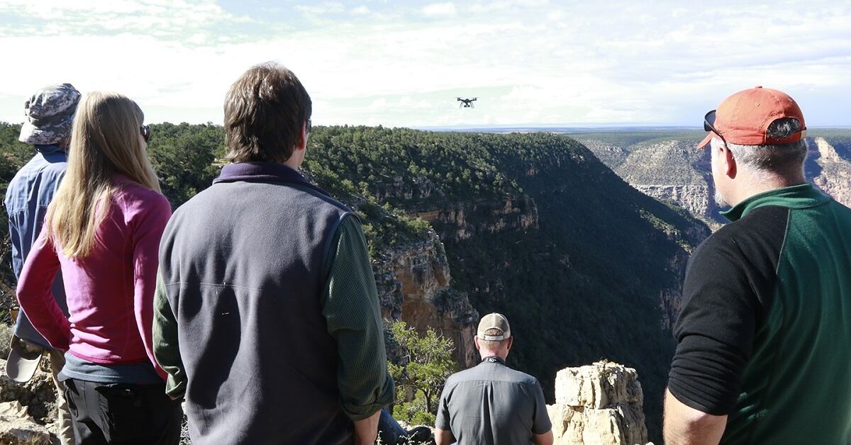
“One of our main mission profiles for our drones program is looking over the edge of the canyon for, presumably, a missing person or someone who has fallen off the cliff, either intentionally or unintentionally.”
According to Jager, Grand Canyon flies about 12 to 20 search-and-rescue flights per year. Their pilots are often asked to aid in missions at other parks.
Parks with UAS programs also regularly collaborate with and learn from each other, as each has a different area of expertise — such as search and rescue for Grand Canyon or a focus on resource management for Alaska.
“We’ve got a pretty good user group up here. We get on the phone once a month to discuss what we’ve been up to, and whether we came across any details that others may learn from. We get on the national phone calls every couple months to discuss the same sort of issues,” Babcock said.
NPS plans to line up advanced UAS classes that address incident response and data processing to prepare for the technological expansion and future uses of the parks’ drones, according to Jager. But Grand Canyon, and likely other parks, won’t be hitting the “run” stage for another five to 10 years.
Jessie Bur covers federal IT and management.


